
Hide
--- TEST SYSTEM --- TEST SYSTEM --- TEST SYSTEM ---
Hide
hide
Description & Travel information for Gedney Hill and places above it in the hierarchy
Gedney Hill
Gedney Hill (sometimes called "Fen End") is both a village and parish about 96 miles north of London, about 7 miles west of Wisbech off the A47 trunk road, 14 miles south-east of Spalding and 10 miles south of Holbeach. Cambridgeshire lies to the south, Fleet parish lies to the west and Sutton St Edmund parish to the east. The Old South Eau Drain forms the southern border, with Cambridgeshire just across the canal. The area is marshy Fenland, drained by many small canals and the South Holland Main Drain. The parish encompasses just under 1,900 acres.
If you are planning a visit:
- By automobile, take the B1166 arterial road east out of Market Deeping. This passes through the village of Gedney Hill.
- The village railway station closed in 1964.
- The Gedney Hill Golf Club course was designed and built in 1989. The course is tougher than it looks due to the Fen winds.
- Richard HUMPREY has a photograph of the village sign on Geo-graph, taken in May, 2011.
- Visit our touring page for visitor services.
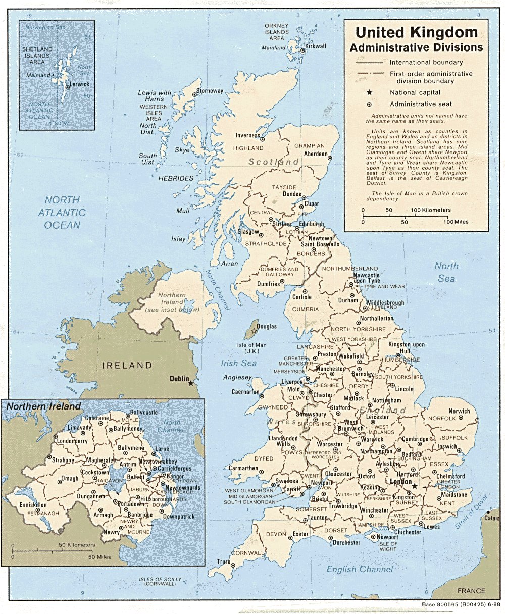
Lincolnshire
The county town is Lincoln, famous for its magnificent cathedral, which ranks as one of the most awe inspiring in the world. Lincolnshire is separated from ancient Yorkshire by the River Humber and lies north of Northamptonshire and Cambridgeshire. To the west are Nottinghamshire and Leicestershire. To the east lies the North Sea.
- Lincolnshire County Council's Pages.
- For those who plan to vacation in Lincolnshire or visit the ancestral sites, a little planning and a visit to our Touring Resource page may be in order.
England
- English Heritage are responsible for the care and repair of many buildings of historic importance. The Historic England Archive (previously the National Monuments Record) is English Heritage's public archive and is the home of around 10 million items covering England's buildings, archaeology and maritime sites. English Heritage's ambitious Images of England initiative aims to put a photograph of every listed building in England on the internet.
- The Badger's Heritage website features many pen and ink drawings of churches, schools, pubs, hotels, bridges, locks, mills, cottages & villages in Berkshire, Hampshire, Middlesex, Oxfordshire, Surrey, West Sussex and Wiltshire.
- Destination England from Lonely Planet.
- There are many links on the (Internet Archive snapshot from 2018) England's Buildings webring.
- ViewFinder - an online image resource for England's history provided by Historic England.
- The England in Particular website from Common Ground encourages the study of our own localities.
UK and Ireland
- Descriptions of the county and its towns and parishes from different periods can be found in trade directories from the early 19th century onwards - see Directories.
- Travel Writing - transcriptions of a number of books describing early travels in Britain, from Vision of Britain.
- The U.K. Database of Historic Parks and Gardens provided by Landscapes & Gardens at the University of York.
- The complete texts of Defoe's Tour of Great Britain (1778), Thompson's Tour of England and Scotland (1785) and Stebbing's Tour of the west of England. Made available by The Center for Retrospective Digitization, Göttingen State and University Library.
- Geograph British Isles - "aims to collect a geographically representative photograph for every square kilometre of the British Isles".
- Historical Aerial Photography - "an unsurpassed collection of information about old aerial photographs of the UK, from the 40's to the 90's..."
- Britain From Above - "the unique Aerofilms collection of aerial photographs from 1919-1953".
- Round the Coast scanned photographs from "An album of pictures from photographs of the chief seaside places of interest in Great Britain and Ireland" (George Newnes Ltd., 1895)" provided by by Rosemary and Stan Rodliffe.
- A modern map of the United Kingdom.