
Hide
--- TEST SYSTEM --- TEST SYSTEM --- TEST SYSTEM ---
Hide
hide
Places within 6 miles of Clongeen
The entries shown on the map are places recorded in the Genuki gazetteer.
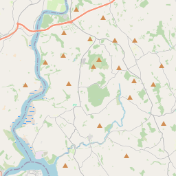
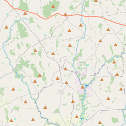
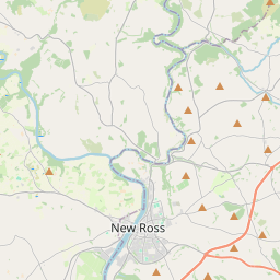
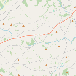
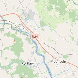
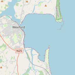
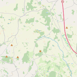
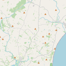
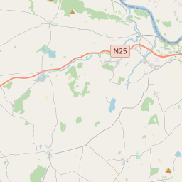


The shape of the icons indicates the precision of the gazetteer entries. A teardrop is used for exact locations, with a square icon used for approximate locations. A grey icon appears for those entries that have not yet been associated with a place node, and for the rest, those entries linked to the same place page have a common colour. We do have just twelve colours so there will be inevitable re-use of a colour.
The icon in the top right hand corner of the map lets you change the source of the base map.
Location types
| Name | Description | Count | Boundary |
|---|---|---|---|
| Historic County | Pre-1974 | 1 |  |
| Parish | 19 | | |
| Townland | Area within a parish | 164 | |
| Town | 1 | | |
| Village | 1 | |