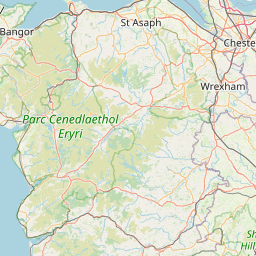
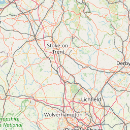
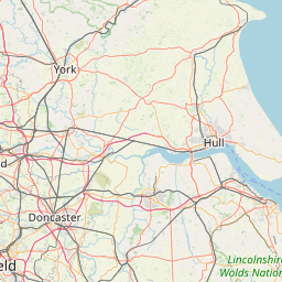
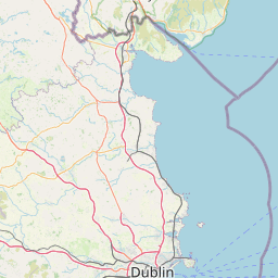
The county boundary is shown as a dashed red line. Within that area the boundaries of towns/parishes may be shown.
The icon in the top right hand corner of the map lets you change the source of the base map.
By clicking the Accept button, you agree to us doing so.