
Hide
--- TEST SYSTEM --- TEST SYSTEM --- TEST SYSTEM ---
Hide
hide
Description & Travel information for Rauceby and places above it in the hierarchy
Rauceby
Rauceby is a single village and ecclesiastical parish which is comprised of two civil parishes, North Rauceby and South Rauceby. You may find records under all three entities.
North Rauceby parish, located about 4 miles west of Sleaford and 11 miles north-east of Grantham, covers about 3,300 acres and is bordered on the north by Cranwell parish and Byards Leap parish, to the east by Leasingham parish and to the west by Normanton parish.
South Rauceby parish, about 3.5 miles west of Sleaford, covers about 2,600 acres and is bounded on the south by Wilsford parish, to the east by Quarrington parish and to the west by Ancaster parish. Bulley Wells, midway between South Rauceby and Sleaford, was famous for several copious limestone springs which feed into the River Slea.
The village of Rauceby is seated on one of the highest parts of Lincolnshire, to the west of Sleaford. If you are planning a visit:
- Take the A17 trunk road west out of Sleaford and turn south after about four miles. Or, one can take the A153 trunk road southwest out of Sleaford and turn north after about three miles to Rauceby.
- Baaa! Richard CROFT suggests that you watch for sheep entering South Rauceby. He has a photograph of the Village sign on Geo-graph, taken in November, 2008.
- The Sleaford Golf Club is on Willougby Road in South Rauceby. Tel: 01529 488273. For a bit of nostalgia, get the Film Archive 1924, 8 minute promotional film for the golf course. Many club members and spectators are on the film.
- Visit our touring page for more sources.
Lincolnshire
The county town is Lincoln, famous for its magnificent cathedral, which ranks as one of the most awe inspiring in the world. Lincolnshire is separated from ancient Yorkshire by the River Humber and lies north of Northamptonshire and Cambridgeshire. To the west are Nottinghamshire and Leicestershire. To the east lies the North Sea.
- Lincolnshire County Council's Pages.
- For those who plan to vacation in Lincolnshire or visit the ancestral sites, a little planning and a visit to our Touring Resource page may be in order.
England
- English Heritage are responsible for the care and repair of many buildings of historic importance. The Historic England Archive (previously the National Monuments Record) is English Heritage's public archive and is the home of around 10 million items covering England's buildings, archaeology and maritime sites. English Heritage's ambitious Images of England initiative aims to put a photograph of every listed building in England on the internet.
- The Badger's Heritage website features many pen and ink drawings of churches, schools, pubs, hotels, bridges, locks, mills, cottages & villages in Berkshire, Hampshire, Middlesex, Oxfordshire, Surrey, West Sussex and Wiltshire.
- Destination England from Lonely Planet.
- There are many links on the (Internet Archive snapshot from 2018) England's Buildings webring.
- ViewFinder - an online image resource for England's history provided by Historic England.
- The England in Particular website from Common Ground encourages the study of our own localities.
UK and Ireland
- Descriptions of the county and its towns and parishes from different periods can be found in trade directories from the early 19th century onwards - see Directories.
- Travel Writing - transcriptions of a number of books describing early travels in Britain, from Vision of Britain.
- The U.K. Database of Historic Parks and Gardens provided by Landscapes & Gardens at the University of York.
- The complete texts of Defoe's Tour of Great Britain (1778), Thompson's Tour of England and Scotland (1785) and Stebbing's Tour of the west of England. Made available by The Center for Retrospective Digitization, Göttingen State and University Library.
- Geograph British Isles - "aims to collect a geographically representative photograph for every square kilometre of the British Isles".
- Historical Aerial Photography - "an unsurpassed collection of information about old aerial photographs of the UK, from the 40's to the 90's..."
- Britain From Above - "the unique Aerofilms collection of aerial photographs from 1919-1953".
- Round the Coast scanned photographs from "An album of pictures from photographs of the chief seaside places of interest in Great Britain and Ireland" (George Newnes Ltd., 1895)" provided by by Rosemary and Stan Rodliffe.
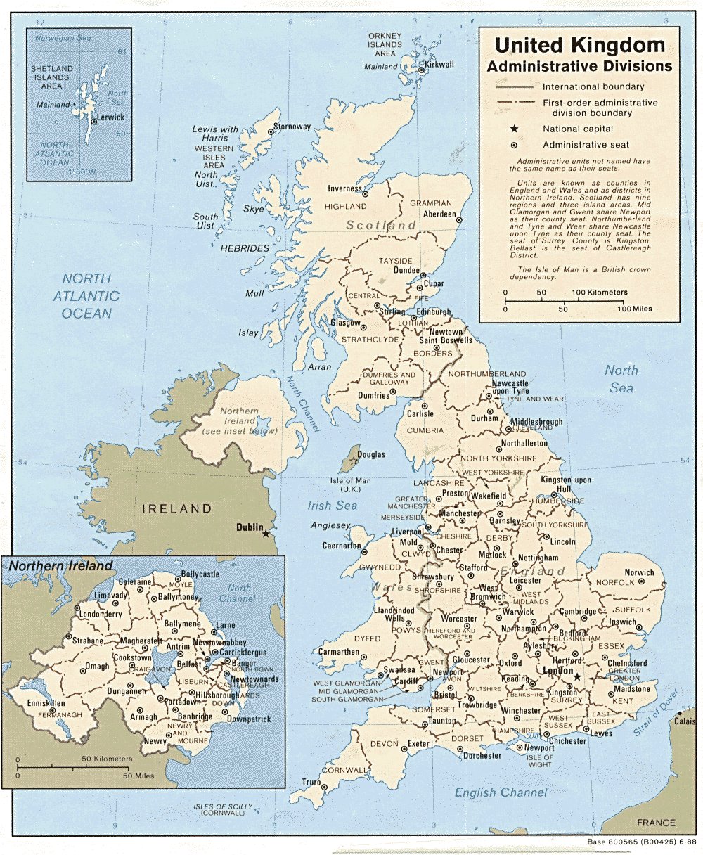
- A modern map of the United Kingdom.