
Hide
--- TEST SYSTEM --- TEST SYSTEM --- TEST SYSTEM ---
Hide
hide
Description & Travel information for Hunstanworth and places above it in the hierarchy
Hunstanworth
"The village of Hunstanworth is twelve miles south of Hexham, twenty-five west by south of Newcastle, and eight miles south-west of Stanhope, at the western extremity of Chester Ward.
"The "Vill of Hunstanworth" extends from the foot of Boltsburn, along the south bank of the river Derwent, as far as the small stream of "Stauny Burn," which forms the boundary between it and the adjoining parish of Edmundbyers. The valley of the Derwent here is very beautiful, and no more enjoyable "outing" can be found than a drive from Shotley Bridge through Edmundbyers to Blanchland, where, after surveying the remains of the ancient abbey and monastic buildings, still remaining almost perfect, and which are extremely interesting, a walk of two miles leads the visitor through beautiful scenery up the valley of the Derwent, with steep hanging woods on each side, up to "Gibraltar," a place curiously scarped, and arranged apparently for defence, lying at the junction of the Neucton and Beldon burns.
"In the churchyard stands the remains of one of the few peel towers to be found in the county, but of which, for many years, only the lowest vaulted storey had remained, which also fell down a few years ago. The building was a rectangled oblong, standing east and west, and measuring 42 feet in length by 22 1/2 in breadth.
"The Derwent Lead Mines. - These mines were formerly worked by a London company, but had lain waste for a number of years, when in 1805 their working was recommenced by a company called the Arkendale and Derwent Company, and were extensively worked for a considerable number of years. The works, however, were finally closed in 1881, and, consequent on the decrease in population, most of the cottages are deserted, and are falling to decay."
[From History, Topography and Directory of Durham, Whellan, London, 1894]
County Durham
- North of England Regional Information Service, an initiative developed by N.I.A.A., the Northern Informatics Applications Agency.
England
- English Heritage are responsible for the care and repair of many buildings of historic importance. The Historic England Archive (previously the National Monuments Record) is English Heritage's public archive and is the home of around 10 million items covering England's buildings, archaeology and maritime sites. English Heritage's ambitious Images of England initiative aims to put a photograph of every listed building in England on the internet.
- The Badger's Heritage website features many pen and ink drawings of churches, schools, pubs, hotels, bridges, locks, mills, cottages & villages in Berkshire, Hampshire, Middlesex, Oxfordshire, Surrey, West Sussex and Wiltshire.
- Destination England from Lonely Planet.
- There are many links on the (Internet Archive snapshot from 2018) England's Buildings webring.
- ViewFinder - an online image resource for England's history provided by Historic England.
- The England in Particular website from Common Ground encourages the study of our own localities.
UK and Ireland
- Descriptions of the county and its towns and parishes from different periods can be found in trade directories from the early 19th century onwards - see Directories.
- Travel Writing - transcriptions of a number of books describing early travels in Britain, from Vision of Britain.
- The U.K. Database of Historic Parks and Gardens provided by Landscapes & Gardens at the University of York.
- The complete texts of Defoe's Tour of Great Britain (1778), Thompson's Tour of England and Scotland (1785) and Stebbing's Tour of the west of England. Made available by The Center for Retrospective Digitization, Göttingen State and University Library.
- Geograph British Isles - "aims to collect a geographically representative photograph for every square kilometre of the British Isles".
- Historical Aerial Photography - "an unsurpassed collection of information about old aerial photographs of the UK, from the 40's to the 90's..."
- Britain From Above - "the unique Aerofilms collection of aerial photographs from 1919-1953".
- Round the Coast scanned photographs from "An album of pictures from photographs of the chief seaside places of interest in Great Britain and Ireland" (George Newnes Ltd., 1895)" provided by by Rosemary and Stan Rodliffe.
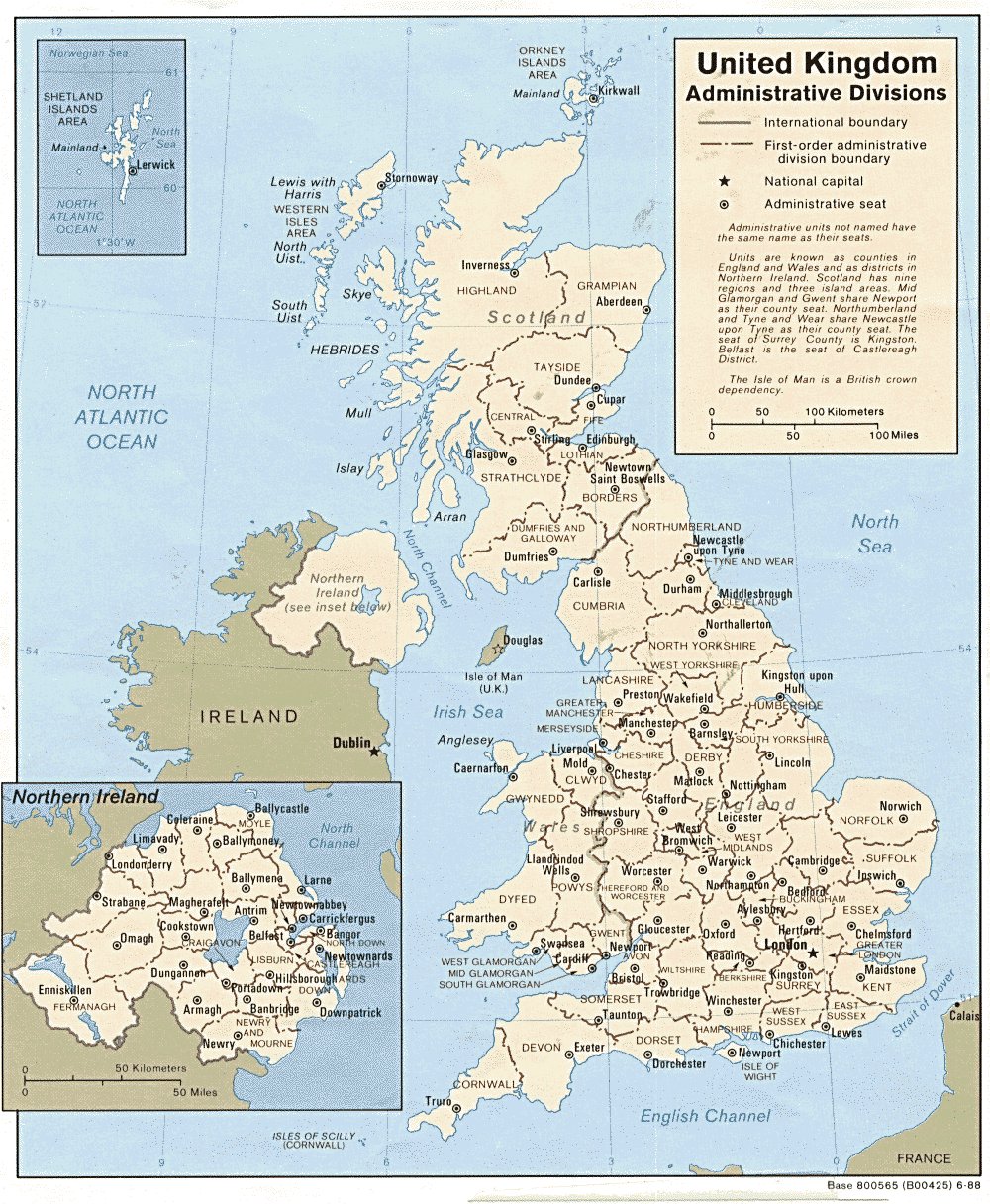
- A modern map of the United Kingdom.