Description & Travel information for Sithney and places above it in the hierarchy
You can see pictures of Sithney which are provided by:
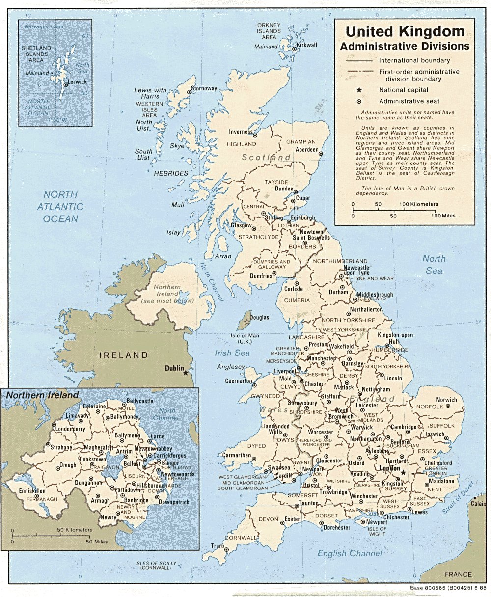
- Cornwall is the most South Westerly part of the United Kingdom. It has only one land border, that with the County of Devon, to the East. This eastern boundary is marked for almost all its length by the River Tamar. The rest of Cornwall is surrounded by sea. This makes Cornwall a peninsula and were it not for the short piece of land north of the Tamar, some say it would be an island. Cornwall is actually a Duchy and the Duke of Cornwall is the Monarch's eldest son, currently His Royal Highness Prince Charles. The population of Cornwall has changed over the last 200 years, in 1801 it was 192,281 rising to a peak of 369,390 in 1861 it then fell back slightly although it now stands at around 500,000. (This increase is largely due to a high number of retired people moving into the county). Until the end of the eighteenth century the ancient Celtic language of Cornish was spoken here, it is currently undergoing a revival and the ancient name of Cornwall "Kernow" can be seen at the roadside when crossing the 'Border' from 'England'. Cornwall is 80 miles long from the Devon border to Land's End. At its widest it is about 45 miles wide and averages about 24 miles wide with the narrowest point between St Ives and Mount's Bay being a mere 7 miles wide. About 30 miles to the South West of Land's End lie the Isles of Scilly, which do not actually form part of Cornwall. The landscape is varied with large outcrops of granite rock and granite hills, such as Bodmin Moor in the East. The Administrative Capital is the City of Truro, lying just to the west of the centre of Cornwall. The main industry was formerly tin mining, but with the fall in tin prices the last mine, at South Crofty at Pool in Camborne, closed in 1998. Businessmen are now in the process of buying the mine so mining is once again may continue in Cornwall and there will only have been a short gap in its history. Other industries vary from the extraction and export of China Clay from near St Austell to the export of spring flowers from the west. The main industry is probably the tourist industry with many visitors coming to the area between Easter and late Autumn. (David Holman 2001 )
- Into Cornwall contains an on-line guide to Cornwall and its people; it includes some relevant information for researchers, residents and visitors. The site includes information about towns and places in Cornwall which might assist research.
- Photographs.
- The Geograph British Isles project aims to collect a geographically representative photograph for every square kilometre of the British Isles. Photographs of places in Cornwall are available.
- Other descriptions and views of Cornish towns and villages are available:
You can see pictures of Cornwall which are provided by:
- English Heritage are responsible for the care and repair of many buildings of historic importance. The Historic England Archive (previously the National Monuments Record) is English Heritage's public archive and is the home of around 10 million items covering England's buildings, archaeology and maritime sites. English Heritage's ambitious Images of England initiative aims to put a photograph of every listed building in England on the internet.
- The Badger's Heritage website features many pen and ink drawings of churches, schools, pubs, hotels, bridges, locks, mills, cottages & villages in Berkshire, Hampshire, Middlesex, Oxfordshire, Surrey, West Sussex and Wiltshire.
- Destination England from Lonely Planet.
- There are many links on the (Internet Archive snapshot from 2018) England's Buildings webring.
- ViewFinder - an online image resource for England's history provided by Historic England.
- The England in Particular website from Common Ground encourages the study of our own localities.
