
Hide
--- TEST SYSTEM --- TEST SYSTEM --- TEST SYSTEM ---
Hide
hide
Description & Travel information for Wilton and places above it in the hierarchy
Wilton
19th century descriptions of Wilton parish and Hawick town can be read online. The online description of the town of Hawick also includes a description of the town's streets, as witnessed by a traveller entering the town from the Kelso direction.
R.E. Scott's Companion to Hawick and District is intended as a "guide to what may still be seen of the more interesting places and relics which have survived through an age of change, demolition and development". It was first published in 1970 by Deans & Simpson of Hawick, and the third edition was published by Hawick Archaeological Society in 1998.
Hawick as it was (or "A photographic glimpse of Hawick as it was") was published jointly by Hawick Archaeological Society and Hawick Camera Club. The book is 96 pages long and is full of old photographs of Hawick and its people from the past.
For an older pictorial record, see Pictures from the Past of Auld Hawick by J.J. Vernon and J. McNairn, published in 1911 at Hawick, and full of paintings and photographs of Hawick in bygone years.
For the views of visitors to Hawick through the ages, see James Sinton's article "Hawick and its neighbourhood described by travellers at different periods" which appeared in the 1918 transactions of the Hawick Archaeological Society, pages 26-50. This describes the views of a dozen or so travellers to the town, the earliest dated 1548, the latest 1864.
Roxburghshire
There are many websites that can be helpful for finding out about the Scottish Borders, whether you are planning to visit or not. Here are just a few of them (in no particular order):
The St Cuthbert's Way website describes the long distance walking route which runs between Melrose and Lindisfarne, commemorating the life of St Cuthbert. On the way the walk passes by St Boswells, Ancrum Moor, Jedburgh, Morebattle and Yetholm.
A classic guide to the area is Andrew and John Lang's Highways and Byways in The Border, first published in 1913 and reprinted in later years. Most recently it was reissued in the United Kingdom by Senate in 1999, under the title Scottish Border Country, ISBN 1859585434 (439 pages). The book takes the form of a journey through the Border country and is full of local and historical snippets of information, as well as many pencil sketches of local places.
A more recent book which may be of interest is Charles Alexander Strang's Borders and Berwick: an illustrated architectural guide to the Scottish Borders and Tweed Valley. As the title suggests, it concentrates on the architecture of the area. However it is well illustrated with hundreds of photographs and contains short descriptions and historical notes on many places. It was first published in 1994 by the Rutland Press and its ISBN is 1873190107 (272-page paperback edition).
Chapter 9 of The Borders Book (see the Bibliography section) has a lot of information on the history of roads, bridges and railways in the Borders. More is given in Chapter 14, pp 171-176 as part of the chapter on the Industrial Revolution.
Scotland
There are many websites which can be helpful for finding out about Scotland, whether you are planning to visit or not. Here are just a few of them (in no particular order):
- Scotland.org
- Scottish Tourist Board
- About Scotland
- Travel Scotland
- Historic Scotland
- Friends of Scotland - Aspects of contemporary Scotland including culture, education and business, a website supported by government.
- Statistical Accounts of Scotland - not just statistics, "Accounts of Scottish life from the 18th and 19th centuries" with a mass of descriptive information on a parish-by-parish basis.
- The Old Home Town has photographs and comments about various communities, which include Cromarty, Orkney, Invergordon, Tain, Fortrose and Rosemarkie, Inverness.
- Geograph is a co-operative project aiming to put a photograph from every 1 kilometre grid square of the UK and Ireland free on Internet. At November 2014 it has almost 4,223,000 images covering 82% of grid squares including photos of churches, and many town and village centres and streets.
UK and Ireland
- Descriptions of the county and its towns and parishes from different periods can be found in trade directories from the early 19th century onwards - see Directories.
- Travel Writing - transcriptions of a number of books describing early travels in Britain, from Vision of Britain.
- The U.K. Database of Historic Parks and Gardens provided by Landscapes & Gardens at the University of York.
- The complete texts of Defoe's Tour of Great Britain (1778), Thompson's Tour of England and Scotland (1785) and Stebbing's Tour of the west of England. Made available by The Center for Retrospective Digitization, Göttingen State and University Library.
- Geograph British Isles - "aims to collect a geographically representative photograph for every square kilometre of the British Isles".
- Historical Aerial Photography - "an unsurpassed collection of information about old aerial photographs of the UK, from the 40's to the 90's..."
- Britain From Above - "the unique Aerofilms collection of aerial photographs from 1919-1953".
- Round the Coast scanned photographs from "An album of pictures from photographs of the chief seaside places of interest in Great Britain and Ireland" (George Newnes Ltd., 1895)" provided by by Rosemary and Stan Rodliffe.
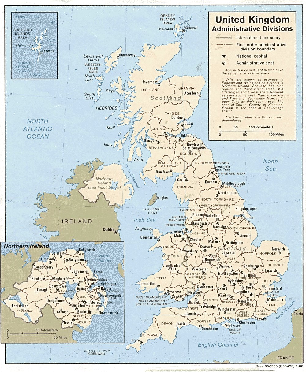
- A modern map of the United Kingdom.