
Hide
--- TEST SYSTEM --- TEST SYSTEM --- TEST SYSTEM ---
Hide
hide
Description & Travel information for Edderton and places above it in the hierarchy
Edderton
Scotland
There are many websites which can be helpful for finding out about Scotland, whether you are planning to visit or not. Here are just a few of them (in no particular order):
- Scotland.org
- Scottish Tourist Board
- About Scotland
- Travel Scotland
- Historic Scotland
- Friends of Scotland - Aspects of contemporary Scotland including culture, education and business, a website supported by government.
- Statistical Accounts of Scotland - not just statistics, "Accounts of Scottish life from the 18th and 19th centuries" with a mass of descriptive information on a parish-by-parish basis.
- The Old Home Town has photographs and comments about various communities, which include Cromarty, Orkney, Invergordon, Tain, Fortrose and Rosemarkie, Inverness.
- Geograph is a co-operative project aiming to put a photograph from every 1 kilometre grid square of the UK and Ireland free on Internet. At November 2014 it has almost 4,223,000 images covering 82% of grid squares including photos of churches, and many town and village centres and streets.
UK and Ireland
- Descriptions of the county and its towns and parishes from different periods can be found in trade directories from the early 19th century onwards - see Directories.
- Travel Writing - transcriptions of a number of books describing early travels in Britain, from Vision of Britain.
- The U.K. Database of Historic Parks and Gardens provided by Landscapes & Gardens at the University of York.
- The complete texts of Defoe's Tour of Great Britain (1778), Thompson's Tour of England and Scotland (1785) and Stebbing's Tour of the west of England. Made available by The Center for Retrospective Digitization, Göttingen State and University Library.
- Geograph British Isles - "aims to collect a geographically representative photograph for every square kilometre of the British Isles".
- Historical Aerial Photography - "an unsurpassed collection of information about old aerial photographs of the UK, from the 40's to the 90's..."
- Britain From Above - "the unique Aerofilms collection of aerial photographs from 1919-1953".
- Round the Coast scanned photographs from "An album of pictures from photographs of the chief seaside places of interest in Great Britain and Ireland" (George Newnes Ltd., 1895)" provided by by Rosemary and Stan Rodliffe.
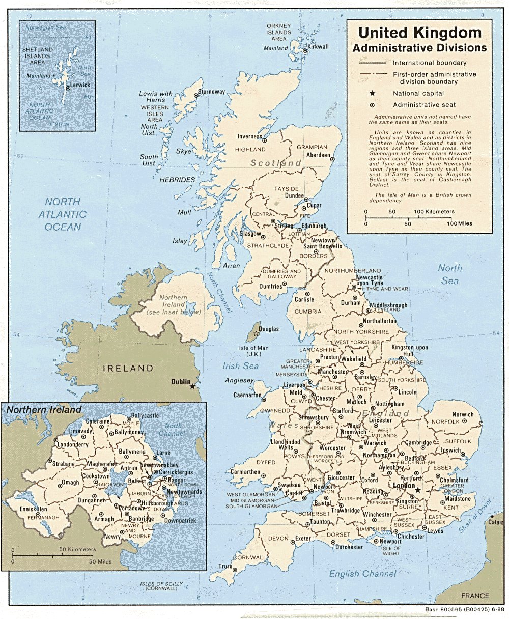
- A modern map of the United Kingdom.