
Hide
--- TEST SYSTEM --- TEST SYSTEM --- TEST SYSTEM ---
Hide
hide
Description & Travel information for Portree and places above it in the hierarchy
Portree
Inverness-shire
"Inverness-shire, maritime co. in NW. of Scotland; is bounded N. by Ross and Cromarty and the Inner moray Firth, NE. by Nairnshire and Elginshire, E. by Banffshire and Aberdeenshire, SE. by Perthshire, S. by Argyllshire, and W. by the Atlantic; area, 2,616,498 ac.; pop. 90,454. Inverness-shire is the largest county in Scotland. It consists of 2 portions, insular and mainland. The insular portion embraces the island of Skye, the St Kilda group, and the whole chain of the Outer Hebrides, except Lewis.
The mainland portion - intersected NE. and SW. by Glen More nan Albin and the Caledonian Canal - consists almost entirely of mountain, loch, and glen. Ben Nevis (4406 ft.), in the SW., at Fort William, is the highest mountain in Great Britain. The principal lochs are Loch Ness, Loch Arkaig, Loch Lochy, Loch Laggan, and Loch Ericht. The W. coast is indented by Loch Hourn, Loch Nevis, and Loch Moidart. The principal rivers are the Spey, the Ness, and the Beauly, on all of which are valuable salmon fisheries. With the exception of the northern seaboard, the glens contain nearly all the fertile land, and only about one-twentieth of the total acreage is under tillage, all the rest being wood and forest, heath, and stony waste. (For agricultural statistics, see Appendix.) There are nearly 300,000 ac. of deer forests, and about 1,700,000 ac. of heath, one-half of which affords pasturage for sheep; the other half serves only for grouse shooting. Inverness-shire is traversed by splendid military roads (constructed in the 18th century), by the Caledonian Canal, and in the N. and E. by the Highland Ry. The prevailing language is Gaelic. The county (insular and mainland) contains 26 pars. and parts of 10 others; the parl. and royal burgh of Inverness (part of the Inverness Burghs - 1 member), and the police burghs of Fort William and Kingussie. It returns 1 member to Parliament."
John Bartholomew's Gazetteer of the British Isles, 1887
The Hub of the Highlands: the book of Inverness and district: the centenary volume of Inverness Field Club, 1875-1975 [edited by Loraine Maclean of Dochgarroch]. The Albyn Press, 1975 ISBN 0-904505-03-0. (This was republished in 1990 by Mercat Press ISBN 0-901824-93-3.)
Scotland
There are many websites which can be helpful for finding out about Scotland, whether you are planning to visit or not. Here are just a few of them (in no particular order):
- Scotland.org
- Scottish Tourist Board
- About Scotland
- Travel Scotland
- Historic Scotland
- Friends of Scotland - Aspects of contemporary Scotland including culture, education and business, a website supported by government.
- Statistical Accounts of Scotland - not just statistics, "Accounts of Scottish life from the 18th and 19th centuries" with a mass of descriptive information on a parish-by-parish basis.
- The Old Home Town has photographs and comments about various communities, which include Cromarty, Orkney, Invergordon, Tain, Fortrose and Rosemarkie, Inverness.
- Geograph is a co-operative project aiming to put a photograph from every 1 kilometre grid square of the UK and Ireland free on Internet. At November 2014 it has almost 4,223,000 images covering 82% of grid squares including photos of churches, and many town and village centres and streets.
UK and Ireland
- Descriptions of the county and its towns and parishes from different periods can be found in trade directories from the early 19th century onwards - see Directories.
- Travel Writing - transcriptions of a number of books describing early travels in Britain, from Vision of Britain.
- The U.K. Database of Historic Parks and Gardens provided by Landscapes & Gardens at the University of York.
- The complete texts of Defoe's Tour of Great Britain (1778), Thompson's Tour of England and Scotland (1785) and Stebbing's Tour of the west of England. Made available by The Center for Retrospective Digitization, Göttingen State and University Library.
- Geograph British Isles - "aims to collect a geographically representative photograph for every square kilometre of the British Isles".
- Historical Aerial Photography - "an unsurpassed collection of information about old aerial photographs of the UK, from the 40's to the 90's..."
- Britain From Above - "the unique Aerofilms collection of aerial photographs from 1919-1953".
- Round the Coast scanned photographs from "An album of pictures from photographs of the chief seaside places of interest in Great Britain and Ireland" (George Newnes Ltd., 1895)" provided by by Rosemary and Stan Rodliffe.
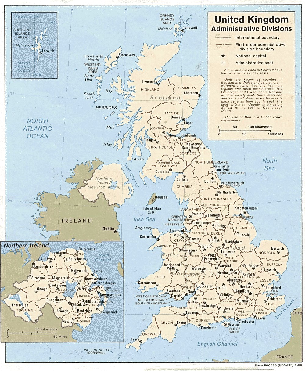
- A modern map of the United Kingdom.