
Hide
--- TEST SYSTEM --- TEST SYSTEM --- TEST SYSTEM ---
Hide
hide
Description & Travel information for Beachampton and places above it in the hierarchy
Beachampton
In 1927 "The Victoria History of the Counties of England: Buckinghamshire" states as follows:
This parish covers 1528 acres, of which 1229 acres are permanent grass, 229 arable and 28 woods and plantations. The soil is clay, the subsoil limestone.The chief crops are wheat, oats, beans and barley. The parish is well-watered, and the low lying land in the north-west, where the Ouse forms the boundary, is liable to flood. A stream that enters the parish on the south-east runs through it in a north-westerly direction, finally joining the River Ouse. Closely parallel to this stream is the road along which straggles the village, its north end bounded by a crossroad, on the far side of which stands the church of St Mary. The land near the river lies low, usually less than 200 feet above the ordnance datum, but on each side of the village it rises to over 300 feet. Hill Farm and Beachampton Grove also stand high. [© copyright of the editors of The Victoria Histories of the Counties of England]
Beachampton was described in 1806 in "Magna Britannia" as follows:
Bechampton, in the hundred and deanery of Buckingham, lies about six miles north-east of the county town, and about three miles south-west of Stony Stratford. The manor passed either by purchase or inheritance, through the families of Fitz-Richard, Bechampton, Wolf, Edy, Foster and Pigott. Thomas Pigott sold it, about the year 1609, to Sir Thomas Bennet, Lord Mayor of London. Sir Simon Bennet, his son, whose principal residence was at Bechampton, was created a baronet in 1627: this Sir Simon was a great benefactor to the poor, and to University College in Oxford: the title became extinct at his death, which happened in 1631. The manor of Bechampton, after having been possessed by his nephew, descended by a female heir to the noble family of Cecil, and is now the property of the Marquis of Salisbury. The remains of the mansion, which was the seat of the Bennets, have been converted into a farm-house; the great hall is standing.
[Correction/Addition at the end of Magna Britannia states "The Bennets of Bechampton were collateral ancestors of the Earl of Tankerville."]
In the parish church are some monuments of the Bennet family, among which is that of Sir Simon Bennet, put up by University College more than 100 years after his death: it was erected not long after the publication of Browne Willis's history of the hundred of Buckingham, in which, the intention of the college is mentioned, and much blame imputed to them for having delayed it so long.
The rectory of Beachampton was formerly in moieties; patronage of one of these was given by Robert Fitz-Neale to the priory of Luffield, in 1329; the other was in the lord of the manor: in 1470 they were united, on condition of alternate presentation. Since the reformation, the advowson has been wholly in the lords of the manor.
Mr William Elmer, who died in 1652, by his will, bearing date 1648, founded a free grammar-school in this parish. The school-house, built out of the profits of the estate, was finished in 1667. By the founder's will, the master must be a single man, and reside at the school-house; the school is endowed with lands, (now let at 43l. per annum) charged with the payment of 40s. per annum each, to eight poor men, and 20s. per annum to eight poor women; three of the men, and as many of the women, must be inhabitants of Bechampton. Mt. Elmer gave also 5l. per annum to apprentice a child, and some lands for the relief of the poor, the repair of highways, etc.
- Buckinghamshire Church Photos by Kevin Quick.
- Buckinghamshire Village Photos by Kevin Quick.
- Buckinghamshire Records and Local Studies Service - large collection of old photos of Buckinghamshire
England
- English Heritage are responsible for the care and repair of many buildings of historic importance. The Historic England Archive (previously the National Monuments Record) is English Heritage's public archive and is the home of around 10 million items covering England's buildings, archaeology and maritime sites. English Heritage's ambitious Images of England initiative aims to put a photograph of every listed building in England on the internet.
- The Badger's Heritage website features many pen and ink drawings of churches, schools, pubs, hotels, bridges, locks, mills, cottages & villages in Berkshire, Hampshire, Middlesex, Oxfordshire, Surrey, West Sussex and Wiltshire.
- Destination England from Lonely Planet.
- There are many links on the (Internet Archive snapshot from 2018) England's Buildings webring.
- ViewFinder - an online image resource for England's history provided by Historic England.
- The England in Particular website from Common Ground encourages the study of our own localities.
UK and Ireland
- Descriptions of the county and its towns and parishes from different periods can be found in trade directories from the early 19th century onwards - see Directories.
- Travel Writing - transcriptions of a number of books describing early travels in Britain, from Vision of Britain.
- The U.K. Database of Historic Parks and Gardens provided by Landscapes & Gardens at the University of York.
- The complete texts of Defoe's Tour of Great Britain (1778), Thompson's Tour of England and Scotland (1785) and Stebbing's Tour of the west of England. Made available by The Center for Retrospective Digitization, Göttingen State and University Library.
- Geograph British Isles - "aims to collect a geographically representative photograph for every square kilometre of the British Isles".
- Historical Aerial Photography - "an unsurpassed collection of information about old aerial photographs of the UK, from the 40's to the 90's..."
- Britain From Above - "the unique Aerofilms collection of aerial photographs from 1919-1953".
- Round the Coast scanned photographs from "An album of pictures from photographs of the chief seaside places of interest in Great Britain and Ireland" (George Newnes Ltd., 1895)" provided by by Rosemary and Stan Rodliffe.
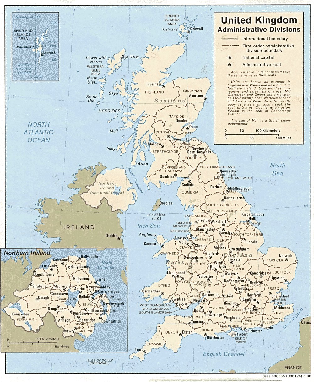
- A modern map of the United Kingdom.