
Hide
--- TEST SYSTEM --- TEST SYSTEM --- TEST SYSTEM ---
Hide
hide
Description & Travel information for Belper and places above it in the hierarchy
Belper
"BELPER is a market town and chapelry, in the parish of Duffield, and hundred of Appletree; 134 miles from London, 54 S.E. from Manchester, 16 S. from Chesterfield, 8 N. from Derby, and the like distance S.S.E. from Matlock. Beaurep'd and Beaureper, were modes of spelling, by which this town was designated in ancient documents; it was then an inconsiderable village, but has now become one of the most flourishing market towns in Derbyshire."
[Description above from Pigot and Co's Commercial Directory for Derbyshire, 1835]
Wikipedia tells us that:
"Originally a centre for the nail-making industry since Medieval times, Belper expanded during the early Industrial Revolution to become one of the first mill towns with the establishment of several textile mills; as such, it forms part of the Derwent Valley Mills World Heritage Site."
The town is on the eastern bank of the River Derwent, 7 miles north of Derby. The parish covers about 2,700 acres.
The town is served by regular bus services to Derby and surrounding towns and villages as well as longer routes to Manchester and London. The major operator is Trent Barton who operate the bus garage on Bridge Street.
Ben BROOKSBANK has a photograph of Belper Station on Geo-graph, taken in April, 1961.
Neil THEASBY has a photograph of the Fountain in The Marketplace on Geo-graph, taken in March, 2015.
Derbyshire
- The Geograph British Isles project - "aims to collect geographically representative photographs and information for every square kilometre of the UK and the Republic of Ireland..." Added 16 Jun 2007.
- Picture the Past - project being managed by Derbyshire County Council to digitise thousands of historic images from Derbyshire and Nottinghamshire, some as early as.1850.
- Discover Derbyshire and the Peak District - site featuring a walk-through of 20 Peak District towns and villages, with an emphasis on local history. Whilst I haven't explored it fully myself yet, of the villages I looked at, all the salient aspects of local folklore appear to be covered, and with more to be added over the coming months. I can fully recommend this attractive, and well presented site.
- Derbyshire UK has descriptions and photographs of many towns and villages in Derbyshire, and provides a wide range of information about other aspects of the county.
- Hedgerow Publishing are selling high quality goods featuring scenes in Sheffield, Derbyshire and South Yorkshire. Their Nostalgic Prints are of particular interest.
- A Website for the Peak District. Provides primary Facts on the Peak District in simple, easy to understand form.
- The Peak District National Park - History and features. Contains some fascinating information on individual towns and villages.
- Ok, so I'm a sucker for Peak District sites - how about a Peak District Sightseer's Guide - pages with information on Arbor Low (Stone Circle), Chatsworth, Cromford, Haddon Hall, and more.
England
- English Heritage are responsible for the care and repair of many buildings of historic importance. The Historic England Archive (previously the National Monuments Record) is English Heritage's public archive and is the home of around 10 million items covering England's buildings, archaeology and maritime sites. English Heritage's ambitious Images of England initiative aims to put a photograph of every listed building in England on the internet.
- The Badger's Heritage website features many pen and ink drawings of churches, schools, pubs, hotels, bridges, locks, mills, cottages & villages in Berkshire, Hampshire, Middlesex, Oxfordshire, Surrey, West Sussex and Wiltshire.
- Destination England from Lonely Planet.
- There are many links on the (Internet Archive snapshot from 2018) England's Buildings webring.
- ViewFinder - an online image resource for England's history provided by Historic England.
- The England in Particular website from Common Ground encourages the study of our own localities.
UK and Ireland
- Descriptions of the county and its towns and parishes from different periods can be found in trade directories from the early 19th century onwards - see Directories.
- Travel Writing - transcriptions of a number of books describing early travels in Britain, from Vision of Britain.
- The U.K. Database of Historic Parks and Gardens provided by Landscapes & Gardens at the University of York.
- The complete texts of Defoe's Tour of Great Britain (1778), Thompson's Tour of England and Scotland (1785) and Stebbing's Tour of the west of England. Made available by The Center for Retrospective Digitization, Göttingen State and University Library.
- Geograph British Isles - "aims to collect a geographically representative photograph for every square kilometre of the British Isles".
- Historical Aerial Photography - "an unsurpassed collection of information about old aerial photographs of the UK, from the 40's to the 90's..."
- Britain From Above - "the unique Aerofilms collection of aerial photographs from 1919-1953".
- Round the Coast scanned photographs from "An album of pictures from photographs of the chief seaside places of interest in Great Britain and Ireland" (George Newnes Ltd., 1895)" provided by by Rosemary and Stan Rodliffe.
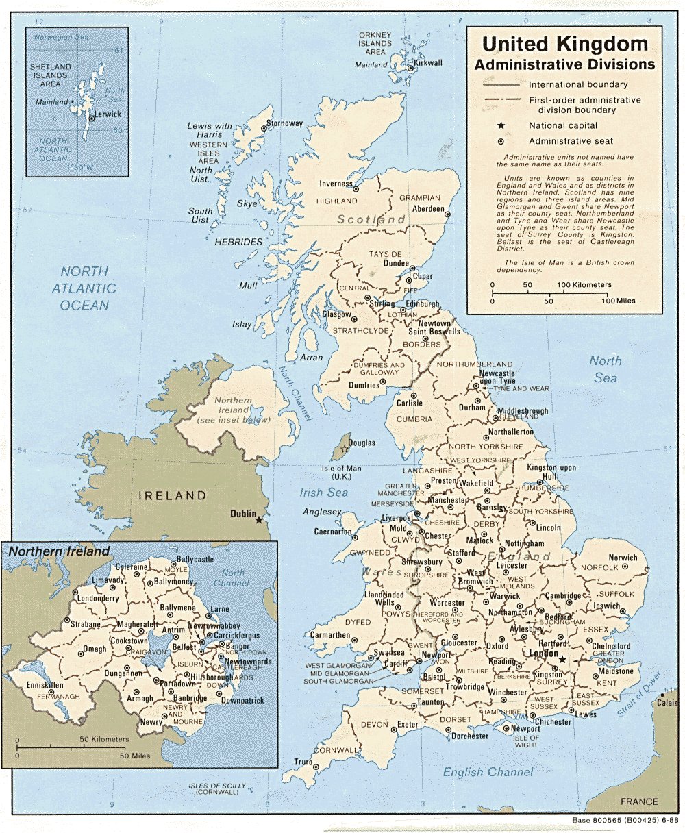
- A modern map of the United Kingdom.