
Hide
--- TEST SYSTEM --- TEST SYSTEM --- TEST SYSTEM ---
Hide
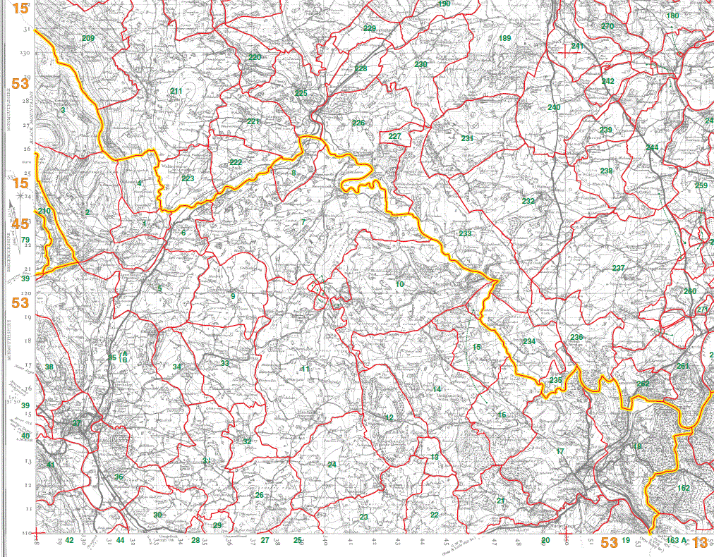
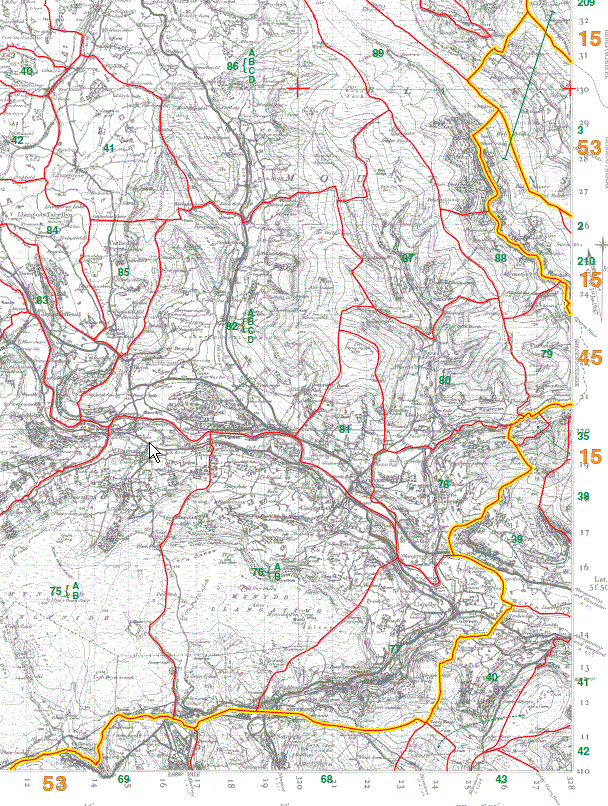
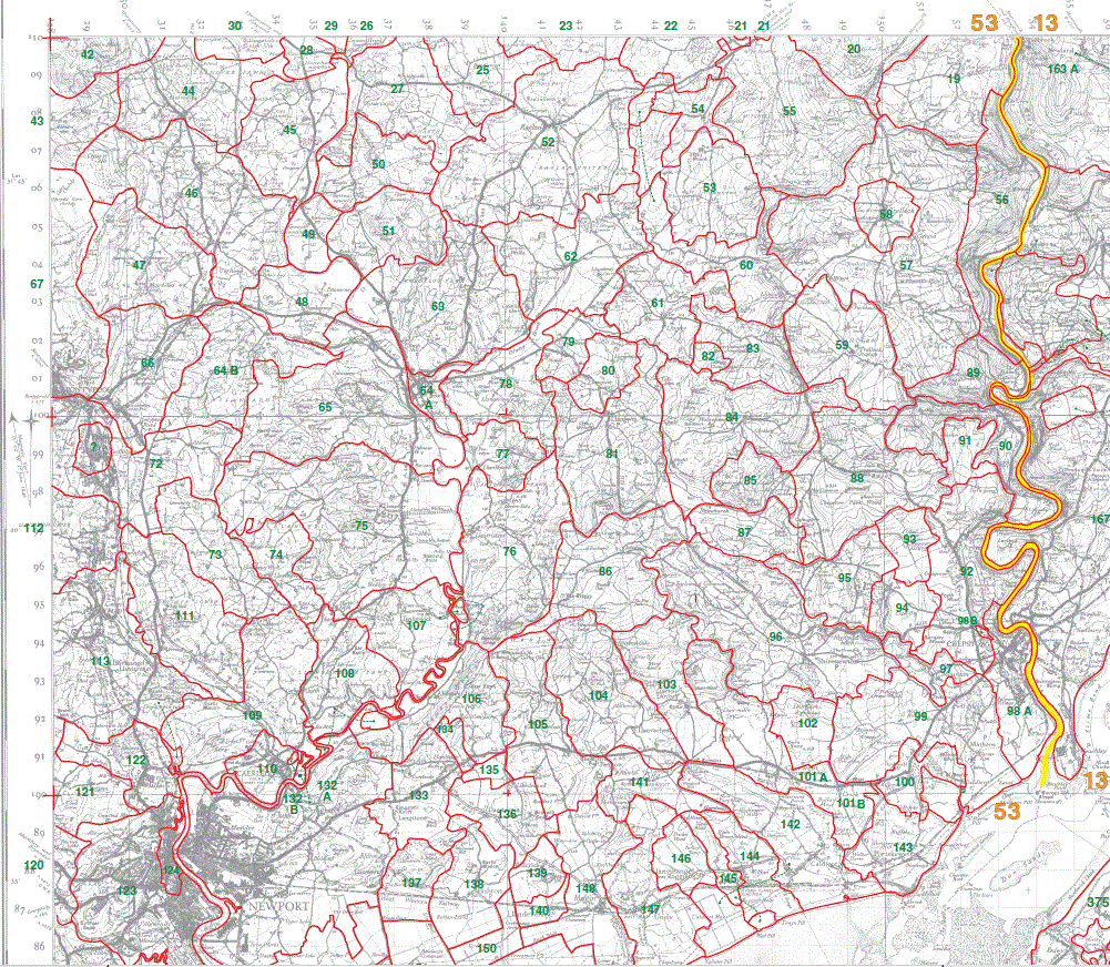
Monmouthshire parishes
hide
Hide
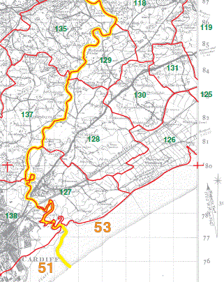
Whilst the original maps can be viewed at up to 6400% these maps below are low resolution (50%) as they are only intended to accurately position parishes etc within the county.
There is a finding aid here
5. Top section lines up with section 1 below (MON is below the yellow county line)
6. Lines up to left side of section 5 above, and also to the top of section 3 below (MON is to the right and below the yellow county line)
1. Middle section, lines up under section 5 above
2. Lines up below section 1
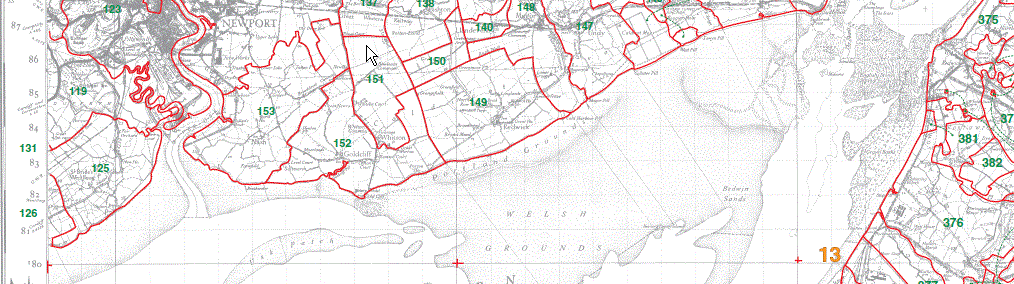
3. Lines up with the left hand side of section 1 (Mon is right of yellow county line)
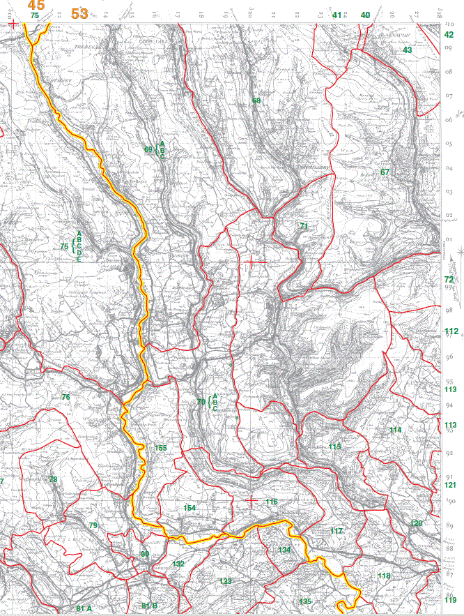
4. Lines up below section 3 and with the left side of section 2
|
|
This map is extracted from:
Kain, R.J.P., Oliver, R.R., Historic Parishes of England and Wales: an Electronic Map of Boundaries before 1850 with a Gazetteer and Metadata [computer file]. Colchester, Essex: History Data Service, UK Data Archive [distributor], 17 May 2001. SN: 4348.
Acknowledgement is made to R.J.P. Kain, R.R Oliver, the Economic and Social Research Council, the History Data Service and the UK Data Archive.