
Hide
--- TEST SYSTEM --- TEST SYSTEM --- TEST SYSTEM ---
Hide
Parish Maps from 'Historic Parishes of England and Wales - Boundaries before 1850'
hide
Hide
Llantrisant Parish Map part 83
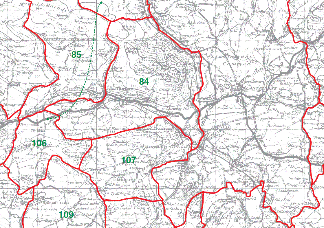
Peterston super Montem Parish Map part 85
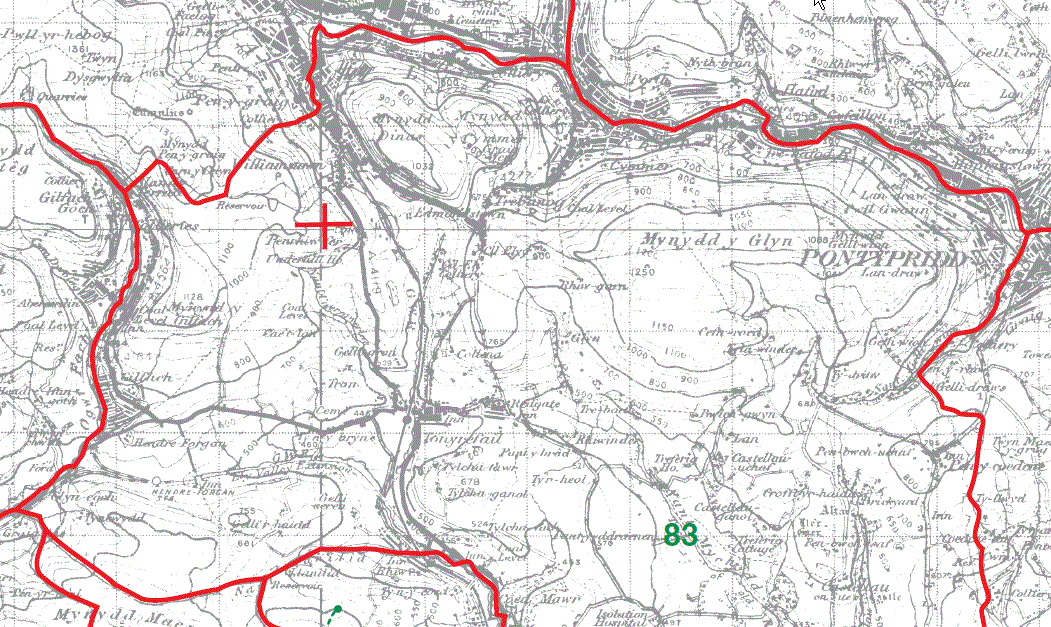
Llantrisant Parish Map part 83
Llanharan Parish Map 84
Peterston super Montem Parish Map part 85
This map is extracted from:
Kain, R.J.P., Oliver, R.R., Historic Parishes of England and Wales: an Electronic Map of Boundaries before 1850 with a Gazetteer and Metadata [computer file]. Colchester, Essex: History Data Service, UK Data Archive [distributor], 17 May 2001. SN: 4348.
Acknowledgement is made to R.J.P. Kain, R.R Oliver, the Economic and Social Research Council, the History Data Service and the UK Data Archive.
[Last Updated : 20 Nov 2012 - Gareth Hicks]