
Hide
--- TEST SYSTEM --- TEST SYSTEM --- TEST SYSTEM ---
Hide
Flintshire Parishes
hide
Hide
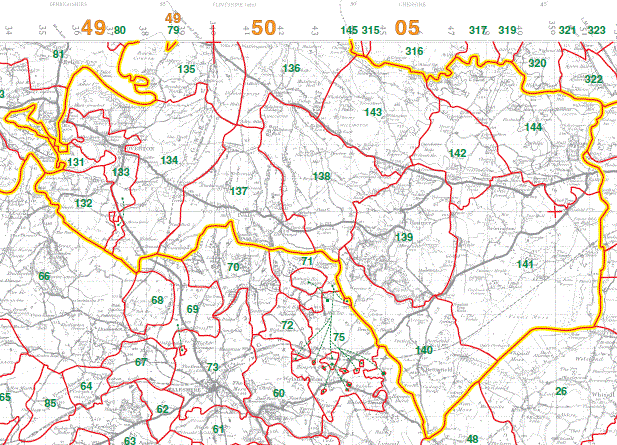
Whilst the original maps can be viewed at up to 6400% these maps below are low resolution (50%) as they are only intended to accurately position parishes within the county.
There is a finding aid here
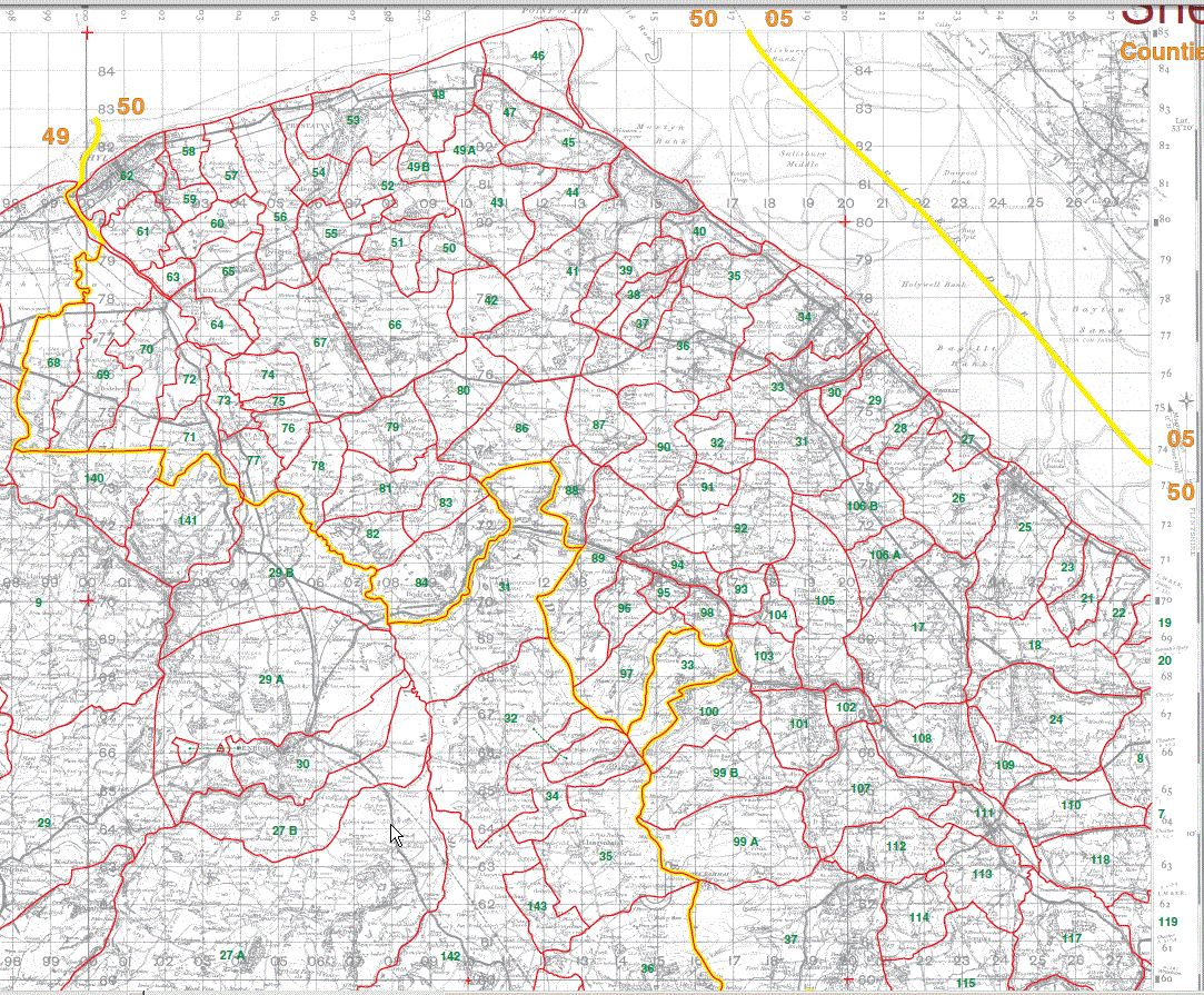
Main section (above & right of the yellow county line)
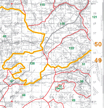
FLN is the top left section of the map below, note the green straight lines linking to the large detached part below (123 to 129 to 136)
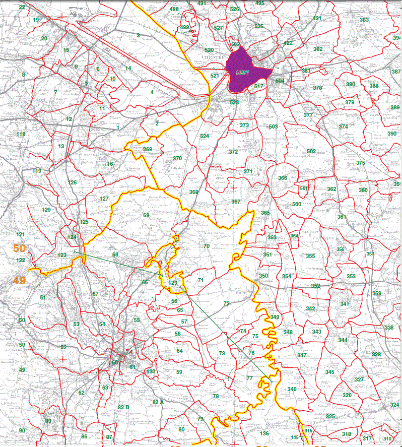
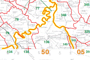
There's an error shown here as 134 (the error) on the bottom edge lines up with 135 on the top edge of the final section below
The bulk of the detached section is below
This map is extracted from:
Kain, R.J.P., Oliver, R.R., Historic Parishes of England and Wales: an Electronic Map of Boundaries before 1850 with a Gazetteer and Metadata [computer file]. Colchester, Essex: History Data Service, UK Data Archive [distributor], 17 May 2001. SN: 4348.
Acknowledgement is made to R.J.P. Kain, R.R Oliver, the Economic and Social Research Council, the History Data Service and the UK Data Archive.