
Hide
--- TEST SYSTEM --- TEST SYSTEM --- TEST SYSTEM ---
Hide
Middle Rasen
hide
Hide
hide
Hide
hide


Hide
Hide
Rasen, Middle, par. and vil., Lincolnshire, on river Rasen, 1½ mile W. of Market Rasen, 3,470 ac., pop. 928; P.O.
From: John BARTHOLOMEW's "Gazetteer of the British Isles (1887)"
Hide
The Caistor Library is an excellent resource with a Local History section and a Family History section.
- The parish was in the Market Rasen sub-district of the Caistor Registration District.
- Check our Census Resource page for county-wide resources.
- The table below gives census piece numbers, where known:
| Census Year | Piece No. |
|---|---|
| 1841 | H.O. 107 / 642 |
| 1851 | H.O. 107 / 2115 |
| 1861 | R.G. 9 / 2394 |
| 1871 | R.G. 10 / 3424 |
| 1881 | R.G. 11 / 3281 |
| 1891 | R.G. 12 / 2623 |
- There were formerly two churches here: Saint Peter's was built by the monks of Tupholme Abbey; Saint Paul's was operated by the Drax Priory.
- St. Paul's Church was pulled down in 1860. It appears to have dated from the 14th century.
- St. Peter's Church was thoroughly restored in 1860. Some parts of St. Paul's Church were used in the restoration.
- St. Peter's Church seats about 324.
- St. Peter's Church was re-dedicated to Saint Peter and Saint Paul.
- A photograph of St. Peter's Church is at the Wendy PARKINSON English Church Photographs site.
- Here is a photo of St. Peter's church, taken by Ron COLE (who retains the copyright):

- St. Peter's parish register dates from 1708.
- For reasons unknown, the number of baptisms drops during the years 1794 and 1795.
- We have a handful of entries in our parish register extract text file. Your additions are welcomed.
- The Lincolnshire FHS has published several marriage indexes and a burial index for the Westwold Deanery to make your search easier.
- The church has, during eclessiastical boundary changes, been part of the West Walshcroft rural Deanery.
- There were Wesleyan, Primitive and Reformed Wesleyan Methodist chapels in the parish. For information and assistance in researching these chapels, see our non-conformist religions page.
- Check our Church Records page for county-wide resources.
- The parish was in the Market Rasen sub-district of the Caistor Registration District.
- Check our Civil Registration page for sources and background on Civil Registration which began in July, 1837.
Middle Rasen is a both a parish and a village of the same name. Buslingthorpe parish lies to the south and Market Rasen parish lies 1 mile to the south-west. The parish covers about 3,600 acres.
The village sits astride the Rase River. In some Directories you will find the village listed as being partly in two parishes: Middle Rasen Drax and Middle Rasen Tupholme. If you are planning a visit:
- By automobile, take the A631 trunk road east out of Gainsborough or west out of Louth. The village is about halfway between those two towns.
- Check out our touring page for resources.
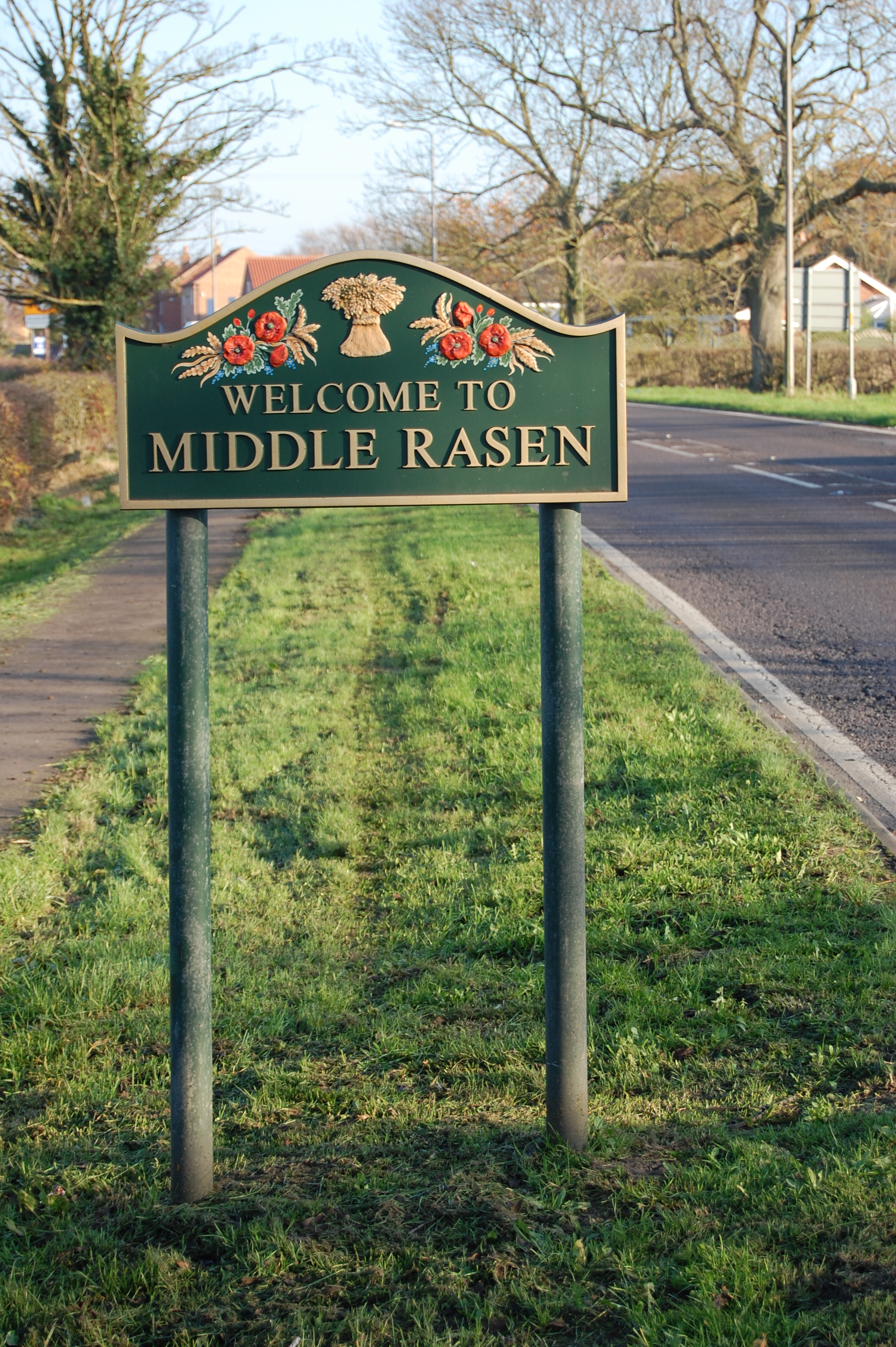
- You can take comfort from being in the village when you see this sign!. This phtot was taken by Patricia McRORY (who retains the copyright):
The National Gazetteer of Great Britain and Ireland - 1868
- Ask for a calculation of the distance from Middle Rasen to another place.
The The ancient stone bridge across the River Rase was replaced by a new one in 1869.
The parish had a Public House named the Nag's Head on Gainsborough road as early as 1842. This establishment is still open. For a photograph, see Geo-graph. Names associated with the Inn are:
| Year | Person |
|---|---|
| 1842 | William NAYLOR, vict. |
| 1868 | Enoch CHESTER, farmer |
| 1872 | John SAUNBY, horse breaker |
| 1882 | John SAUNBY, vict. |
| 1900 | Mrs. Harriet HIBBETT |
| 1913 | John Chas. RAWLINSON |
| 1930 | Edwd. I. BURNETT |
John Charles RAWLINSON, above, was born in Market Rasen circa 1859.
There's not much to see in the 1881 census (R.G. 11/3281 folio 86):
Relationship Name Sex Age Where born head John SAUNBY M 63 Waddinham, Lincolnshire wife Harriet SAUNBY F 61 Lincoln, Lincolnshire dau. Elizabeth SAUNBY F 30 Louth, Lincolnshire
- See our Maps page for additional resources.
You can see maps centred on OS grid reference TF089891 (Lat/Lon: 53.387523, -0.36405), Middle Rasen which are provided by:
- OpenStreetMap
- Google Maps
- StreetMap (Current Ordnance Survey maps)
- Bing (was Multimap)
- Old Maps Online
- National Library of Scotland (Old Ordnance Survey maps)
- Vision of Britain (Click "Historical units & statistics" for administrative areas.)
- English Jurisdictions in 1851 (Unfortunately the LDS have removed the facility to enable us to specify a starting location, you will need to search yourself on their map.)
- Magic (Geographic information) (Click + on map if it doesn't show)
- GeoHack (Links to on-line maps and location specific services.)
- All places within the same township/parish shown on an Openstreetmap map.
- Nearby townships/parishes shown on an Openstreetmap map.
- Nearby places shown on an Openstreetmap map.
The War Memorial for both World Wars is a plaque inside St. Peter's church. Photo taken by John FIRTH.
- This place was an ancient parish in Lincoln county and became a modern Civil Parish when those were established.
- The parish was in the south division of the ancient Walshcroft Wapentake in the West Lindsey district in the parts of Lindsey.
- On 24 March, 1887, "Lissingley's Fields" were transfered to Buslingthorpe Civil Parish.
- Some published Directories of the 1900s have the parish listed as being in the East Lindsey district.
- You may contact the Middle Rasen Parish Council regarding civic or politial issues, but they are NOT staffed to assist you with family history questions.
- Today's district governance is provided by the West Lindsey District Council.
- Bastardy cases would be heard on the 1st Tuesday each month at the Market Rasen petty session hearings.
- In 1803, the poor of this parish were bequeathed £170 by Mdk. TOMLINE. That was subsequently lost by the bankruptcy of Wm. HESLEDEN, solicitor, of Barton-on-Humber.
- As a result of the 1834 Poor Law Amendment Act, this parish became part of the Caistor Poor Law Union.
- In 1871, this parish had seven tenements occupied by poor families.
Year Inhabitants 1801 403 1831 685 1841 831 1871 982 1881 928 1891 810 1901 677 1911 711 1921 761 1931 808 1951 910 1961 916
- A Free School was founded here in 1720 by John WILKINSON.
- A Council School was built in 1875 to hold 120 children. In 1911, average attendance was 79.
- See our Schools page for more information on researching school records.