
Hide
--- TEST SYSTEM --- TEST SYSTEM --- TEST SYSTEM ---
Hide
Warrington Parish Boundaries
hide
Hide
Hide
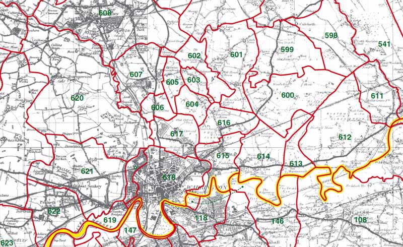
611 - Glazebrook 612 - Rixton 613 - Martincroft 614 - Woolston 615 - Poulton 616 - Fearnhead 617 - Orford 618 - Warrington 620 - Burtonwood
Warrington Township Boundaries
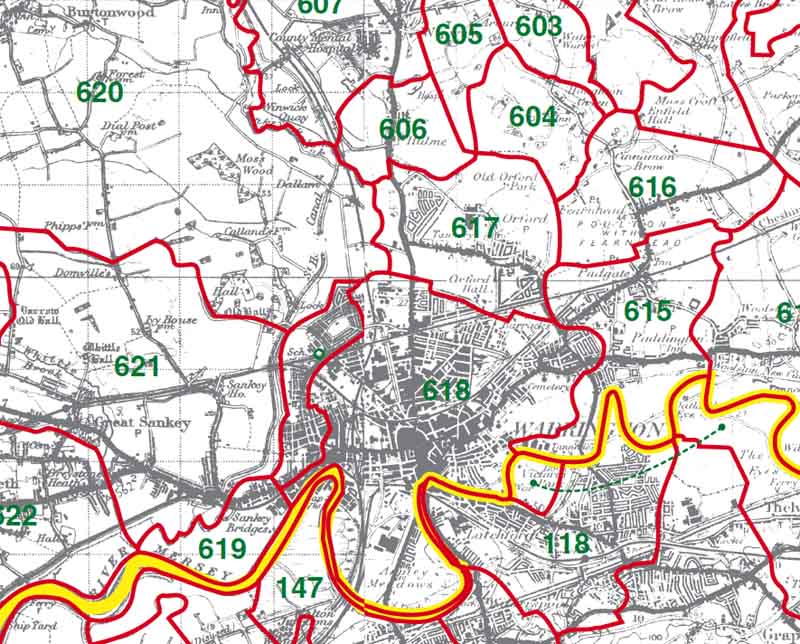
618 - Warrington
This map is extracted from:
Kain, R.J.P., Oliver, R.R., Historic Parishes of England and Wales: an Electronic Map of Boundaries before 1850 with a Gazetteer and Metadata [computer file]. Colchester, Essex: History Data Service, UK Data Archive [distributor], 17 May 2001. SN: 4348.
Acknowledgement is made to R.J.P. Kain, R.R Oliver, the Economic and Social Research Council, the History Data Service and the UK Data Archive.