
Hide
--- TEST SYSTEM --- TEST SYSTEM --- TEST SYSTEM ---
Hide
St Munchin, Church of Ireland
hide
Hide
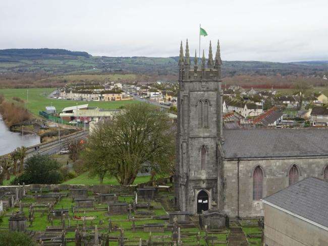
St Munchin's Church and Graveyard
© Laurence Jones 2023
Hide
Church Street
King's Island
Limerick
V94 F9V3
Hide
It was located at RK5232928751 (Lat/Lon 52.670817, -8.625588). You can see this on maps provided by:
- OpenStreetMap
- Google Maps
- Bing (was Multimap)
- Copy
St Munchin, Church of Irelandand paste it along with the county name into the search box at Ordnance Survey Ireland. - GeoHack (Links to on-line maps and location specific services.)