
Hide
--- TEST SYSTEM --- TEST SYSTEM --- TEST SYSTEM ---
Hide
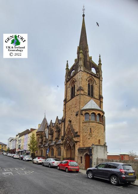
Carlisle Road, Methodist, Londonderry
hide
Hide
Hide
It is located at NV5992079520 (Lat/Lon 54.993703, -7.319524). You can see this on maps provided by:
- OpenStreetMap
- Google Maps
- Bing (was Multimap)
- Vision of Britain (Click "Historical units & statistics" for administrative areas.)
- Copy
Carlisle Road, Methodist, Londonderryand paste it along with the county name into the search box at Ordnance Survey Ireland. - GeoHack (Links to on-line maps and location specific services.)